A satellite image is worth a thousand words: a little study on detecting from space the increment of activities in cemeteries, due to outbreaks of COVID-19 infections.
At the beginning of last year, I asked myself what I could do by using my own competences to help mitigate the impact of the Covid-19 pandemic. Indeed, monitoring a pandemic wave from space is a challenge, and many studies focus on examining its consequences, such as empty parking lots or reduced pollution.
Taking inspiration from heart-breaking newspaper articles, I decided to look at changes noticeable in cemeteries. I have made use of satellite images Sentinel-2, distributed by the European program Copernicus, their main asset being their temporal resolution, which allows to identify changes in a timely way in the areas of interest.
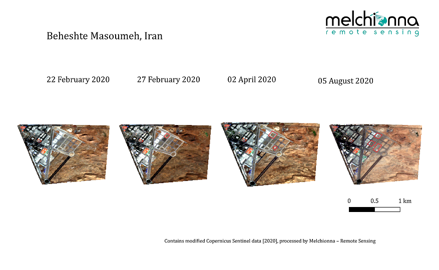
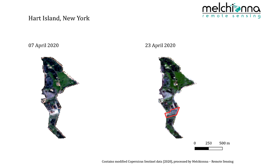
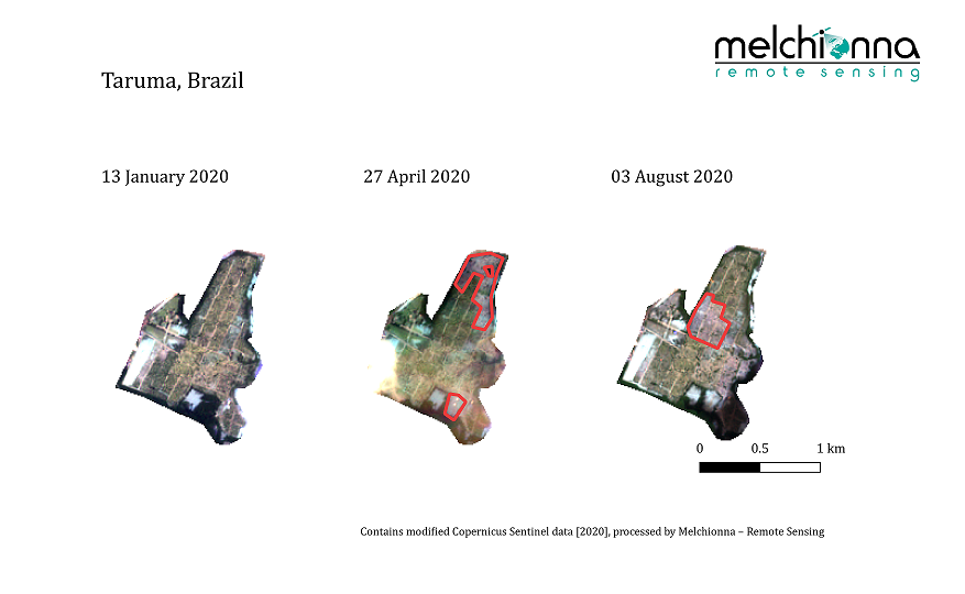
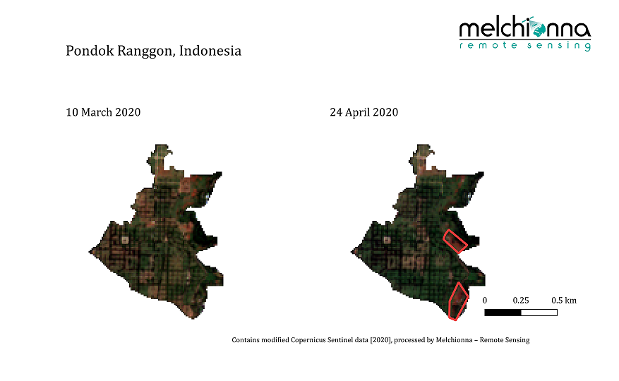
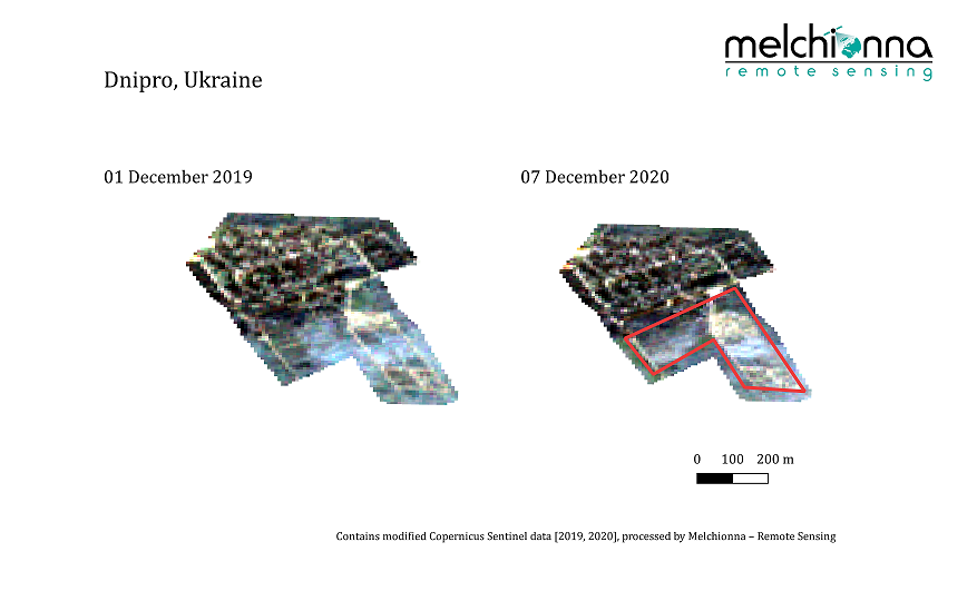
Cemeteries are places where, under normal circumstances, not so much activities take place. However, during this recent year, even from space it is possible to detect changes over large areas, which illustrate in a shocking and distressing way the increase in mortality rate. Indeed, if this increment is not correlated with official information regarding mortality rates, chances are that it is due to an outbreak of the infection. The main objective of this study is to support public and private health institutions in their monitoring activities, by providing them with indications of possible outbreaks of the infection in their countries of interest, especially for countries which could, wittingly or unwittingly, provide misled information about it.
Here is a collection of images of cemeteries around the world that I have produced during the past year; the red polygons highlight ground areas which have been disturbed in the period between the first and second image acquisition.
Hereby I would like to thank Andreas Kühnen from CloudEO for his support in developing this project.
First published on LinkedIn on January 18, 2021
Contains modified Copernicus Sentinel data [2019, 2020], processed by Melchionna – Remote Sensing